West Byfleet Circular
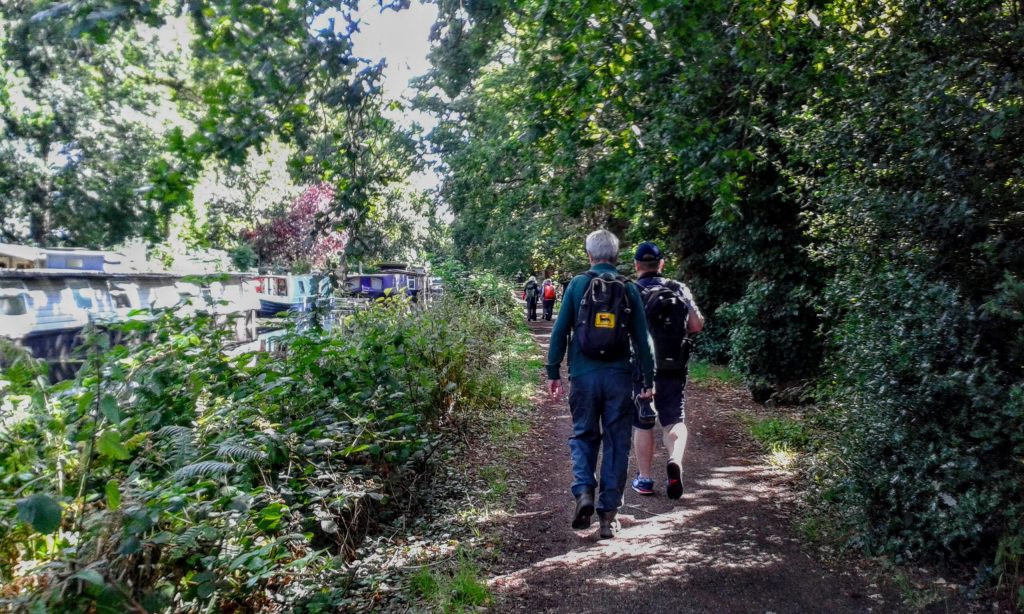
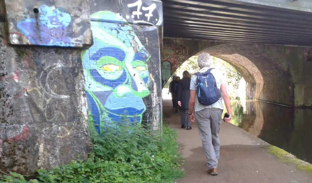
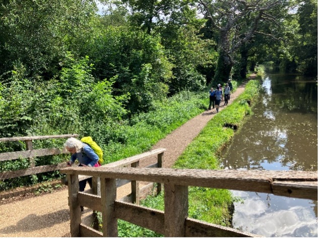
29 July. Nine walkers set out from West Byfleet Station as the rain clouds disappeared for a while and left us with patches of sunshine. We started the walk along the first part of the Basingstoke Canal past the series of Woodham Locks and over the Woodham footbridge to reach the River Wey Navigations.
Basingstoke Canal
Wey Navigation
The River Wey Navigations are one of the oldest navigation systems in the country, built between 1651 and 1653, the idea of Sir Richard Weston, to provide a highway for Guildford merchants to London. It runs 15.5 miles from Guildford to Weybridge and 9 miles of canals were constructed to link sections of the River Wey. The coming of the railways diminished its use and it was given to the National Trust in 1964.
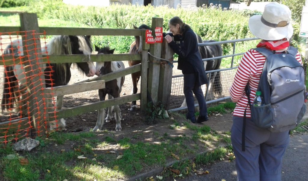
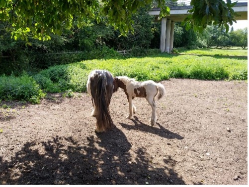
Our group walked along the canal to Murray’s Bridge, passing the Byfleet Boathouse from where rowing boats and canoes can be hired, and stopped to stroke the horses with two small foals in the adjacent field. We then turned to walk over the M25 footbridge, through a short section of housing estate on the outskirts of Byfleet to join the river Wey before heading through Buxton Wood. We recrossed the M25 via the footbridge and then managed an awkward style and steep flight of steps down to and through the woods of Wisley Common. Fortuitously we were partly sheltered by the trees as a heavyish shower hit but by the time we had donned waterproof jackets it had mainly stopped.
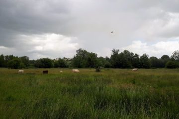
The walk continued around the perimeter fence of the RHS Garden Wisley with the River Wey reappearing on our right, crossing an open gateway into the garden at one point, though this is guarded by CCTV so they presumably come chasing you if you dare to enter. After a field and a further section of woodland we came onto Ripley Green, our lunch stop, after just under three hours of walking.
Those of us who picnicked just managed to finish our lunches ahead of the next rain shower before heading to Pinnock’s Coffee House where three of the group had already gone to eat, while another of our group headed to sample the beer at one of the pubs that, apparently, has an ‘interesting’ atmosphere, not entirely welcoming it would seem! Pinnock’s, on the other hand, is an atmospheric mid 16th and 17th century timber framed Grade II listed building that offers a choice of mild, medium or full roast coffee, lunches and delicious cakes. The only criticism of those who lunched there was that the portions were huge.
In the afternoon we crossed back over the green to rejoin the Wey Navigations at Walsham Lock where they have recently built a natural channel fish pass allowing fish and eels to migrate from the Thames to find new feeding and breeding areas, hoping to improve new coarse fish species populations. The section of the walk along the navigation from here to Newark Lock is particularly picturesque with views across fields to the ruined Newark Abbey (not accessible as on private land).

The River Wey

Newark Lock
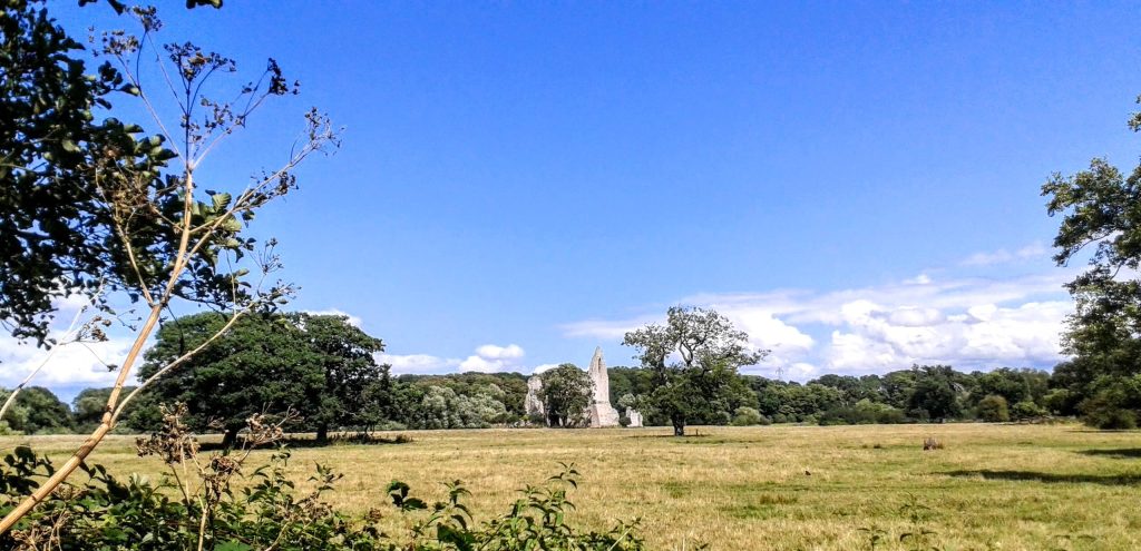
Newark Abbey

After a longish stretch of walking on a narrow pavement along a busyish road we ascended on a short sharp rise to mainly Norman St. Nicholas Church, at Pyrford. It has a Tudor bell turret and fragments of 12th century wall paintings. A brief stop here to rest in the interior coolness before a nasty road crossing on a bend, but thankfully crossed safely.
Onwards then across fields to reach Pyrford Golf Course and finally rejoining the Wey Navigation at Pyrford Lock, passing the popular Anchor pub and Pyrford Marina, full of canal boats. At Dodd’s Bridge we turned off to head back to West Byfleet via woodland and field in plenty of time for one of the trains back to London which were finishing just after 6, by which time we were all pretty weary.
Dodds’ Bridge
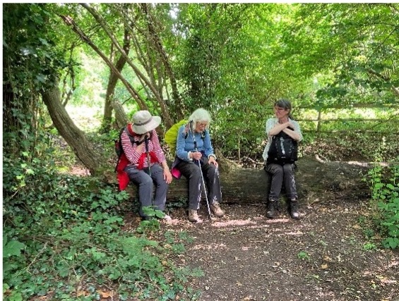
Well earned rest before the last section.
Linda. Thanks to Christine M, Howard and Sigrid for additional photos.